
From Reality to Rehearsal. Faster, More Effective, Mission-Ready.
SceneCast™ is a complete hardware +
software solution designed to bring field-collected geospatial
assets into synthetic training environments with speed and
precision. Delivered in rugged, deployable cases, SceneCast packages
drones/UAVs with high-performance laptops for speedy
processing, VR headsets for visual context, and Mantle-powered
terrain workflows for direct-to-simulation ingest. Raw sensor
captures become 3D assets ready for VBS4, Unreal, and more.
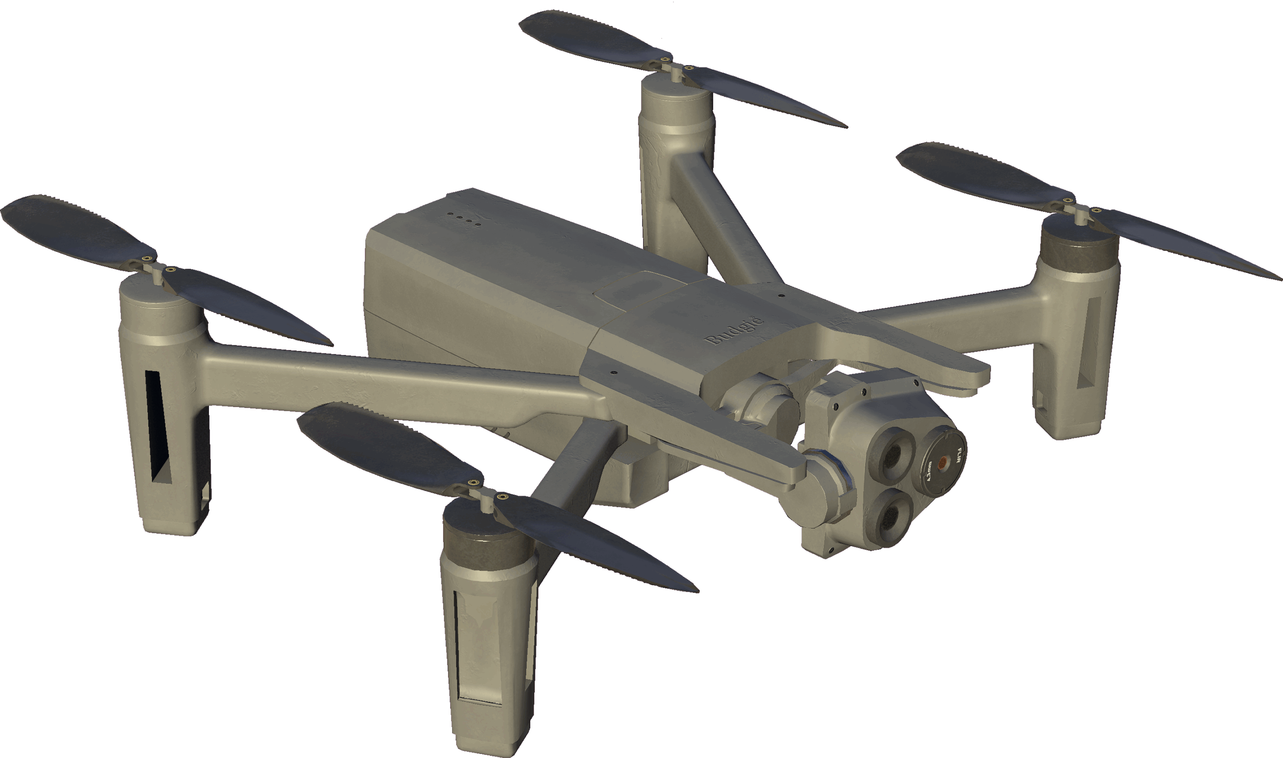
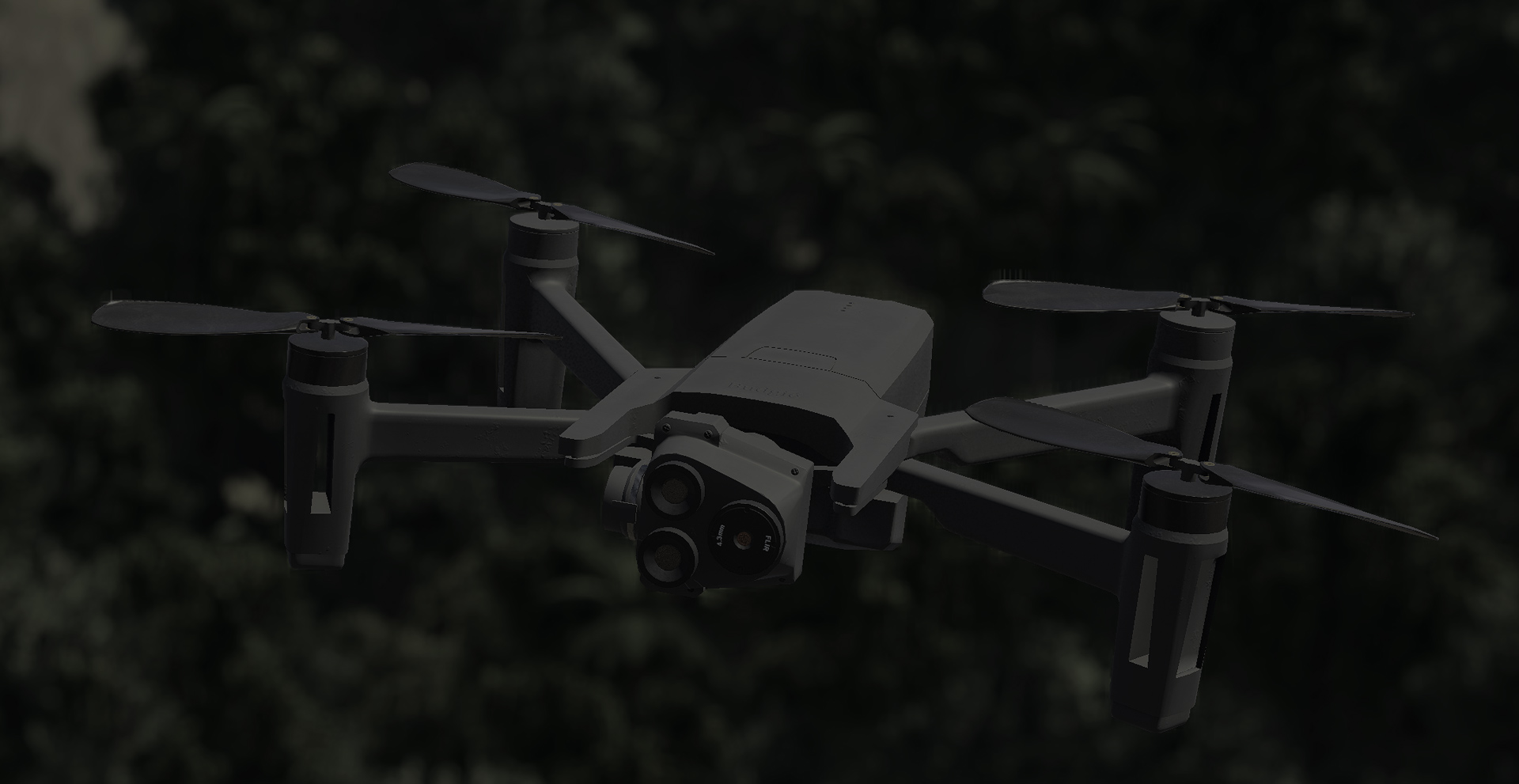
Rugged cases, compute, drones, sensors, VR/visualization tools
Mantle workflows for processing, mesh generation, and export/streaming pipelines.
Support for GIS, terrain export formats, and connections to C2 tools (e.g., WinTAK/ATAK)
A reality mesh is a high-fidelity 3D model built from multiple overlapping images of a physical environment. It accurately represents what is actually in the field, such as terrain, objects, and buildings. SceneCast’s mesh becomes usable simulation terrain that maintains realism in the synthetic world.
Trusted in field trials and early-adopter deployments.
Mantle workflows for processing, mesh generation, and export/streaming pipelines.
From data capture in the field to simulation deployment in hours.
Works in different terrain types, data sources, sensor platforms.
Compatible with VBS4, Unreal, national and NATO simulation standards.
Ready to see how our solutions can simplify and improve your next
simulator build? Contact us for a free consultation to learn how we can help you.